


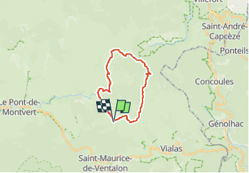

11.2 km | 14.8 km-effort


User


FREE GPS app for hiking
 SityTrail
IGN / Geographical institutes
SityTrail World
The world is yours!
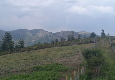
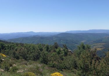
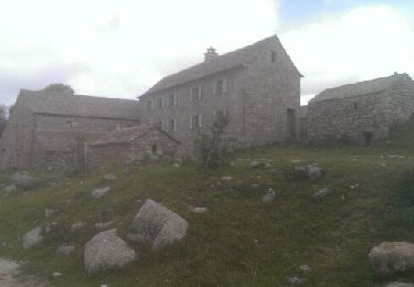
Trail Walking of 19.2 km to be discovered at Occitania, Lozère, Pont de Montvert - Sud Mont Lozère. This trail is proposed by Alain28/01.
Walking
Walking
Walking
Walking

Walking
Walking
Walking

Walking

Walking